
SUMMARY
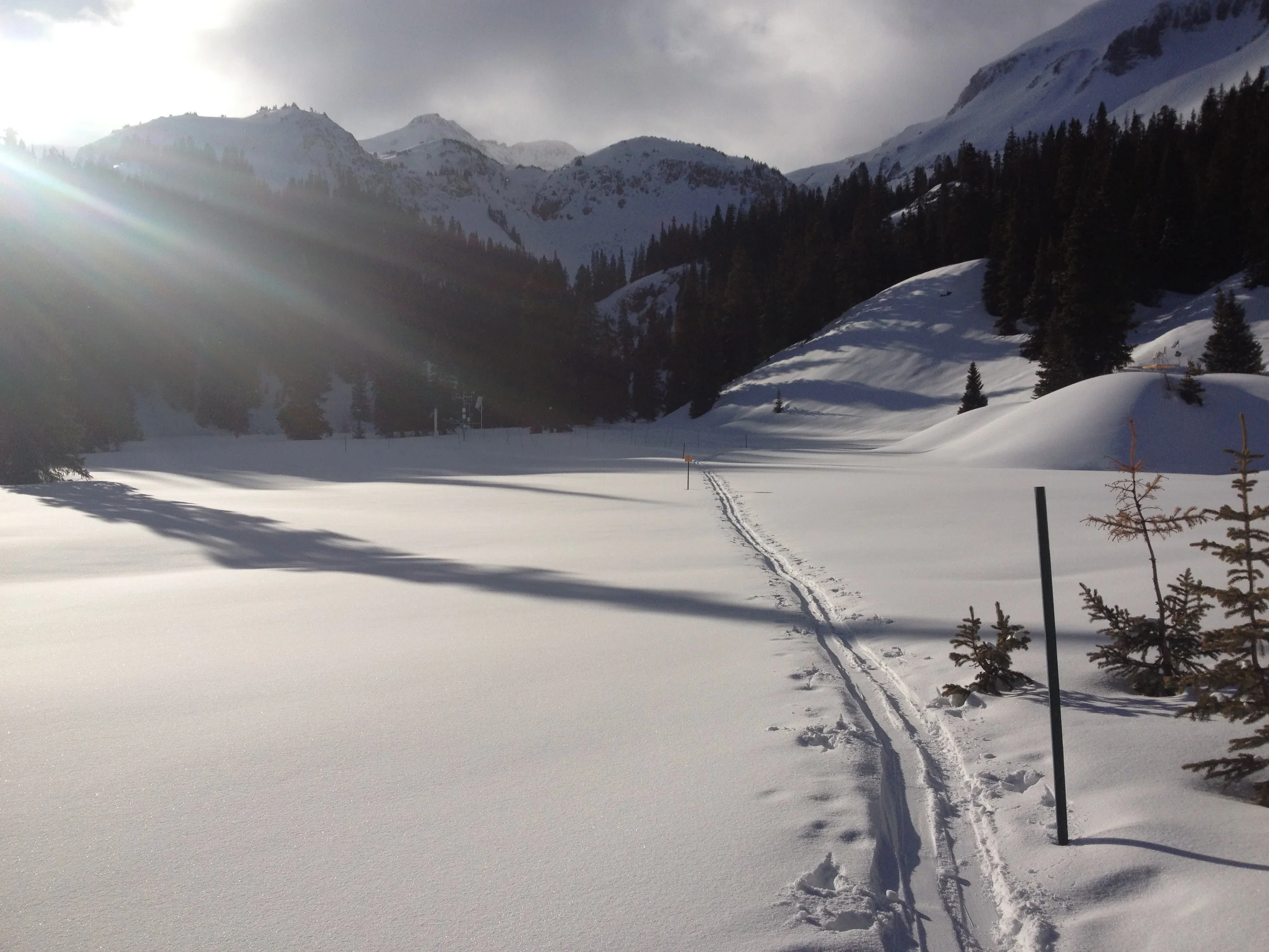
Greetings from Silverton on Monday, February 16, 2015, where the sun is out and our overnight trace of new snow is rapidly disappearing.
It has now been over a month since our last Winter Storm #6 here in the western San Juan Mountains, a minimal storm with only 1/2" (12 mm) of water content, and almost two months since Storm #5, our last 'decent' snowfall (see the CSAS Winter Storms webpage). We have had weather in the meantime, of course, just very warm and dry weather. Over the past ten days Silverton has been a quagmire of deep slush on our side streets on a daily basis. The contrasts to the northeast part of the country are ... disappointing!
Colorado is once again experiencing amplifying disparity in snowpack formation from south to north, with San Juan Mountains headwaters suffering a very dry winter to-date, and the adjoining Gunnison Basin faring only a bit better. Among all Colorado watersheds, the South Platte basin contains the best snowpack, at 99% of today's median (February 16), according to NRCS. On Feb 12, NRCS estimated that Colorado, as a whole, would require accumulating 140% of normal snow water equivalence (SWE) in the weeks leading up to April 9 to produce a normal state-wide value for peak SWE (see below).
Colorado Statewide Time Series Snowpack Summary (file name: “basinplotstate15” at ftp://ftp-fc.sc.egov.usda.gov/CO/Snow/snow/watershed/daily/)
With just two weeks to go until March 1, many or most Colorado watersheds may fall into the "Low March 1 SWE" category of the CODOS 3x3x3 dust enhanced runoff space described in our January Update.
Here in our area, this prolonged spell of very sunny, dry, and warm weather has had the effect of substantially advancing snowpack warming, compared to normal February conditions. A snowpit dug at 11,000' on an east-facing slope in Senator Beck Basin during our Snow School for water professionals last week was fully isothermal and wet, at 0° C throughout - very unusual. Obviously, lower elevation slopes were also experiencing this warming as well, most acutely on sunny aspects but also on shady slopes at the lowest margin of snowcover. At higher elevations, the most southerly (and perhaps westerly) slopes are also experiencing this early snowpack warming but are likely not yet isothermal, and north aspects remain 'cold'. All this is occurring without any observed Colorado Plateau dust in the snowcover, so far. (Our snowcover is so thin in many areas that we do see dirty snow on the leeward side of alpine ridges where bare ground has been exposed on the windward side of the same ridge for weeks ... i.e., from "local" dust). USGS Uncompahgre River Near Ridgway and Animas River At Durango gauges both registered small up-ticks from median base flows in the past days.
Depending on the weather during the next weeks, and whether or not we see a return to mid-winter precipitation and temperature conditions, CSAS may begin our CODOS site circuits a few weeks earlier than usual, to check snowpack temperatures. If and where these very dry, sunny, and warm conditions persist, and substantial fractions of the Colorado snowcover closely approach or attain isothermal snow temperatures at 0° C, then even a slight reduction in snowpack albedo by future dust-on-snow could very rapidly produce the final increment of warming to isothermal and initiate the onset of, or accelerate, snowmelt, perhaps weeks ahead of typical onset (at a given elevation and aspect). Then, subsequent snowmelt rates would largely depend on the frequency of spring storms, and restoration of high albedo. Once isothermal, it is unusual to observe significant 're-cooling' of the snowpack, except within surface layers.
More soon,
Chris